The Walk through the Fields
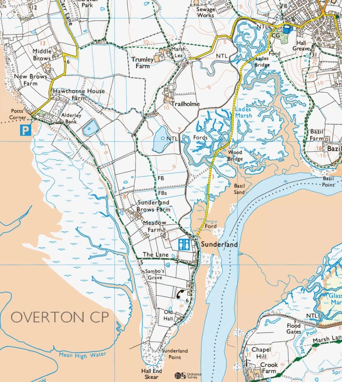
The footpath from Trailholme to Sunderland Point: Courtesy Ordnance Survey
In a spirit of adventure and at a bit of a loose end, we volunteered to find out how easy it was to find the way through the fields from Overton to Sunderland Point.
Some Historical Stuff
It seems that, like many footpaths in England, its origins date back to ancient times. Even before the golden age of shipbuilding and when the Point served as an outport for Lancaster, a small farming and fishing community, possibly involved in boatbuilding and weaving, likely existed there.
It was the alternative route to the tidal track. Over time, the route of the path may have shifted slightly, but it became fixed once the fields were fully enclosed.
The footpath first appears on the 1890s amendment to the 1840s Ordnance Survey map. Records for the footpath are maintained by Lancashire County Council and it is included in the online mapping systems.
Although helpful staff searched for any early records, nothing exists before 1951. Fortunately, this is of some interest.
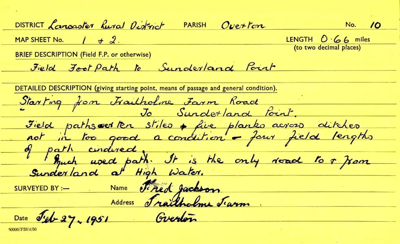
1951: Report on the footpath by Fred Jackson: Courtesy Lancashire County Council
It's no surprise that Fred reports the ‘stiles and planks across ditches not in too good condition’, but he adds ‘Much used path’—not today, but it was then. With the tide on the road, this was the route for children of all ages going to school in Overton or to the bus stop for services to Heysham and Morecambe. It was much criticised, especially in winter, as James W. Gardner wrote to The Visitor in the 1930s, “It is true there is a footpath through the fields, but you want thigh boots to get that way.”
But in the summer, it could be an escapade. George Armstrong, who rented a house on Second Terrace as a holiday cottage for many years, was delayed on one of his first visits. Here’s his description. “The way over the fields proved rather an exciting affair. It commenced with a cart road, then a hole in a wall took us along the side of a turnip field, through a cornfield which was crossed diagonally, then through various meadows, across several wooden bridges which covered deep dykes, and so on.”
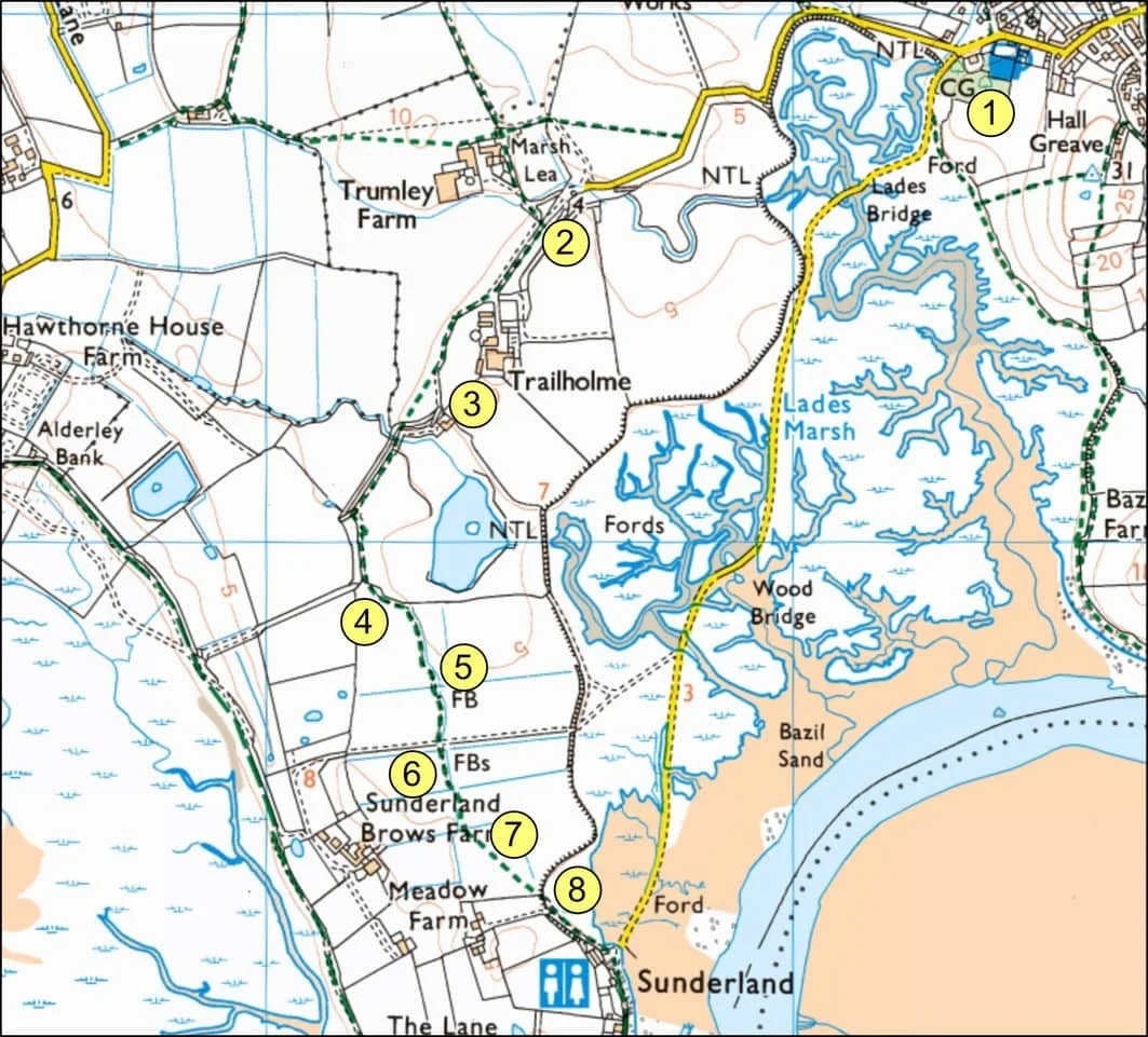
THE WALK THROUGH THE FIELDS: Numbers by Paul Hatton: Map courtesy of Ordnance Survey
June 2025
Your guide today has personal experience of the footpath from fifty years ago. It was an occasional necessity, an early start, a raincoat and wellies. It was usually too windy for an umbrella.
We begin, as so many Sunderland Pointers would, at the Globe Hotel (Number 1).
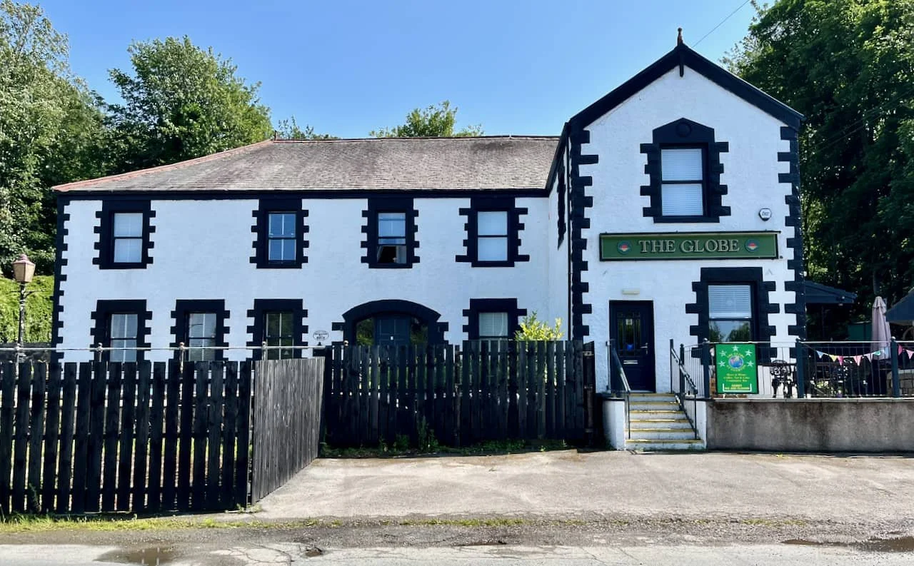
INN AT THE BEGINNING: The Globe looking just great.
Tradition has it that the Globe begins life in the later 17th century but in the 1890s it became an attraction in itself.
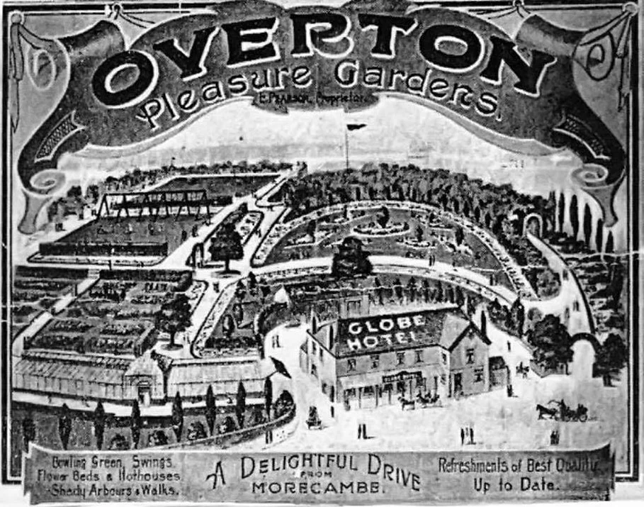
BURIED PLEASURE: Advertising the Globe Hotel in 1905: From the collection of Jackie Parkinson-Winter Brown
Edward Pearson purchased the Globe Inn in 1892 when it was in a near-dilapidated condition. He carried out extensive renovations and created the magnificent Pleasure Gardens, which became as famous as those in ancient Babylon.
Edward renamed the premises the ‘Globe Hotel’ and managed the pub himself before passing it on to his son James, who operated it until 1926.
It is the much-loved local of Sunderland Point folk, including poor William Seddon, who in 1877 lied to his wife, didn’t go to visit a local farm but spent the evening here. He imbibed sufficient not only to lose his sense of direction but also his life. Who can forget playing darts in the smoke-filled snug reserved for locals.
And who today would miss the chance of a knees-up on a Sunday night with the Sea Shanty Crew.
Come on, get with it!
The walk is simple, as are the points of guidance. Abide by the countryside code, especially dogs on leads. Wear wellington boots or similar and sensible clothes, there is boggy ground to cross and prickly undergrowth to be struggled through. A machete should not be required.
The Walk
Stand in front of the Globe facing the SP road and bear right.
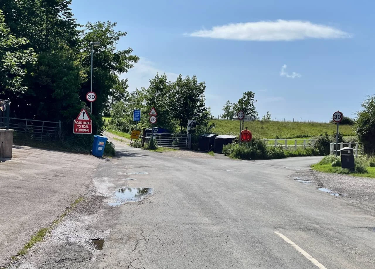
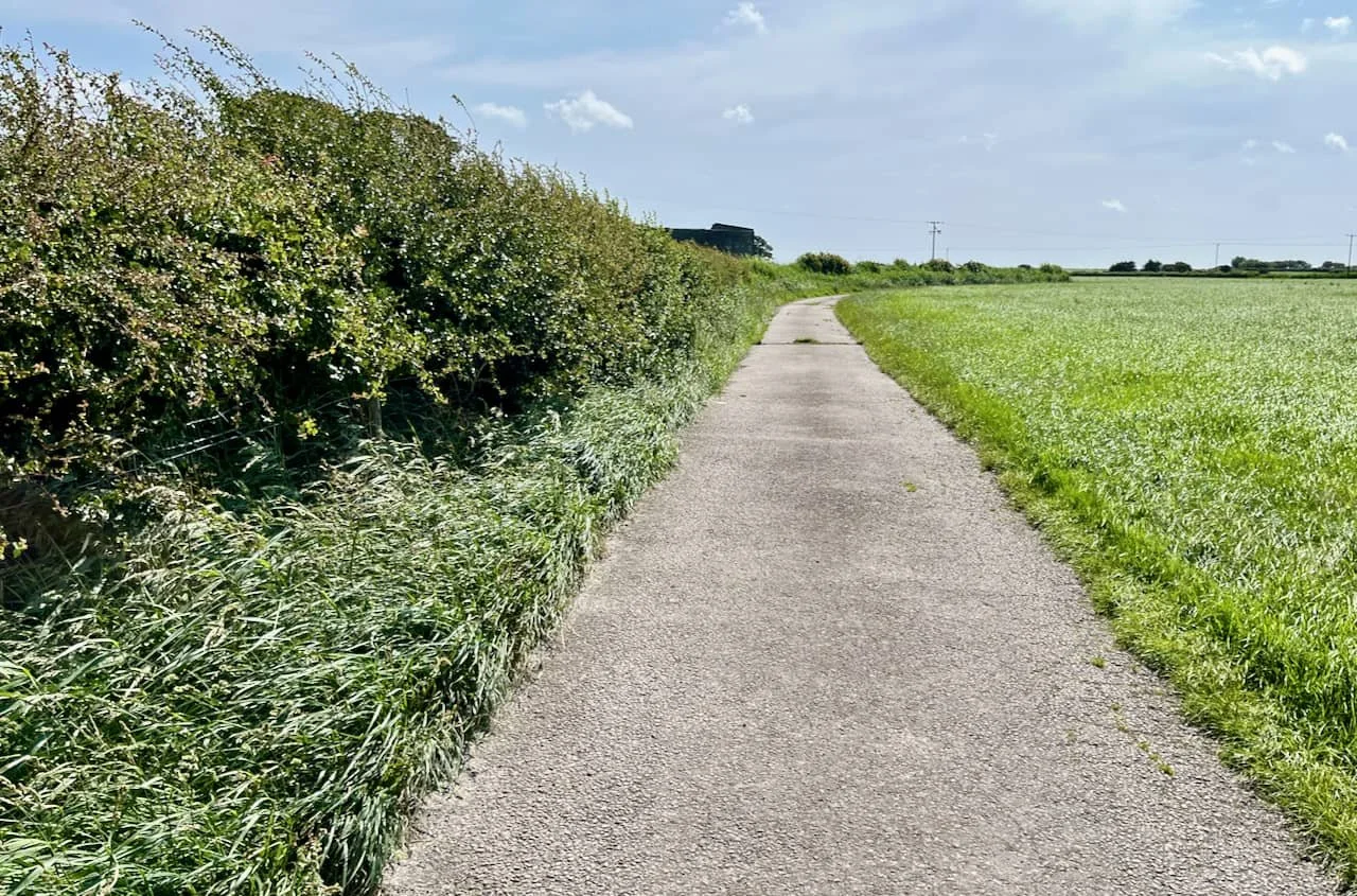
LET’S GO: On to the tarmac road - keep going, it’s a 10 - 15 minute walk before getting on to the fields.
HEDGE HOG: Take in the sights as you begin the walk
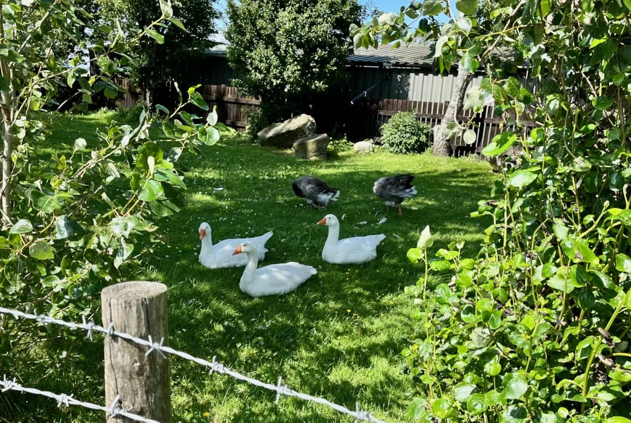
THERE’S A GOOSE LOOSE: The geese in the garden on the right
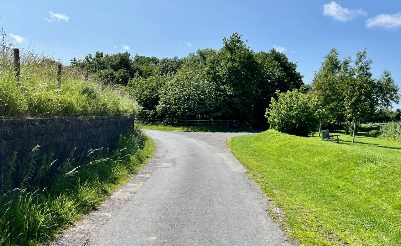
VEER LEFT: Keep left as the road swings round
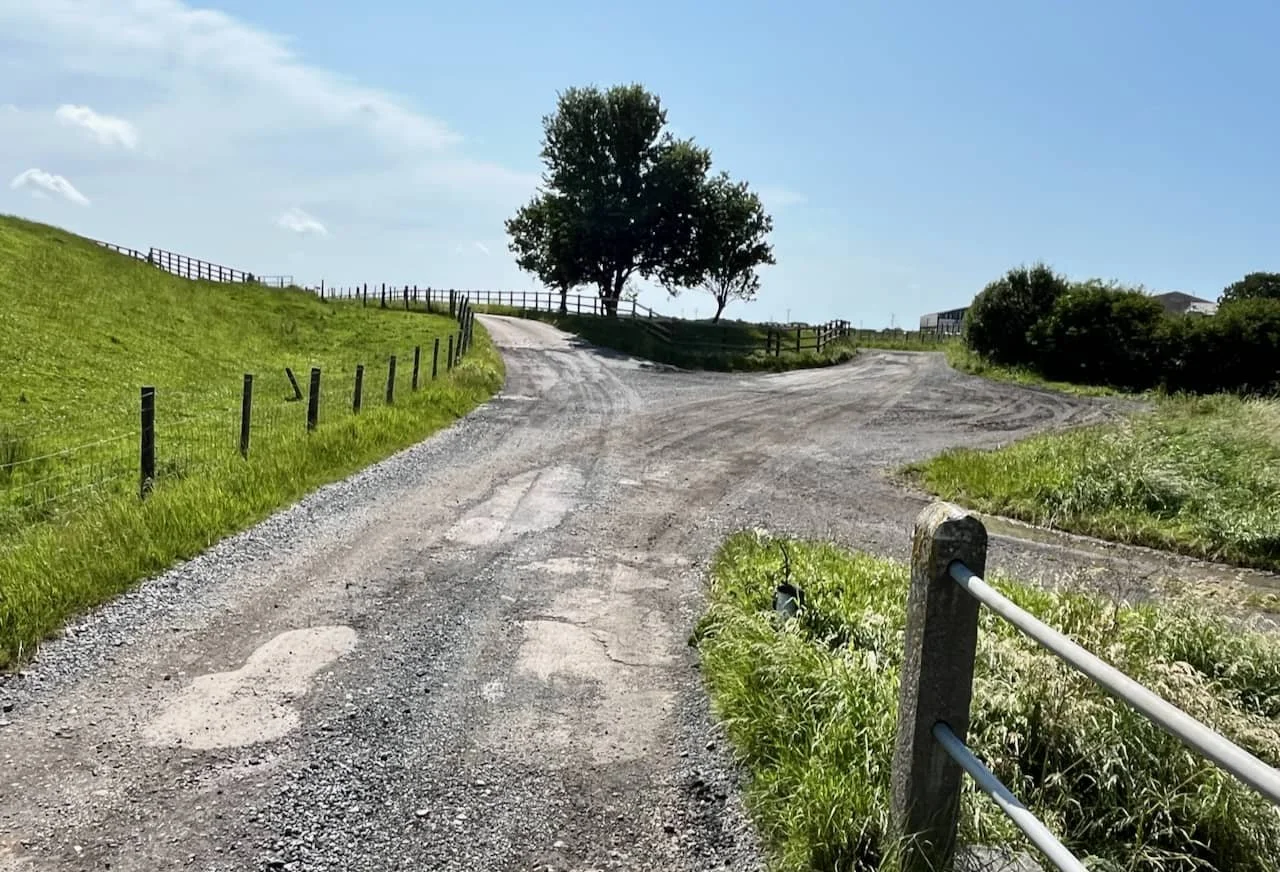
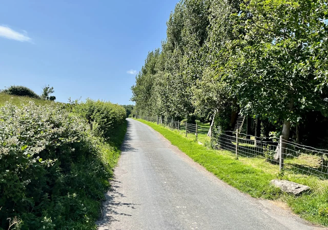
LEFT AGAIN: Keep left towards Trailholme Farm - the track to the right leads to Trumley Farm.
TRUM STOP: Trumley Farm as seen from the walk.

CRACK TRACK: The track is now concrete with some cracks in places
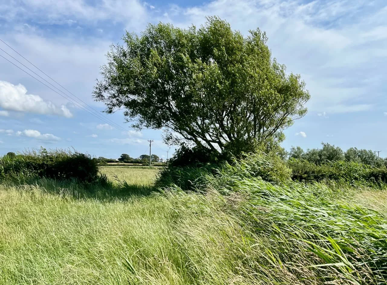
THE CHOICE IS YOURS: (Number2 on the map at the beginning). You could take this modern access to the footpath - through the swing gate and immediate left on to the concrete path. Or - as we used to do in the olden days, it’s George Armstrong’s ‘hole in the wall’ - search for the gap in the hedge.
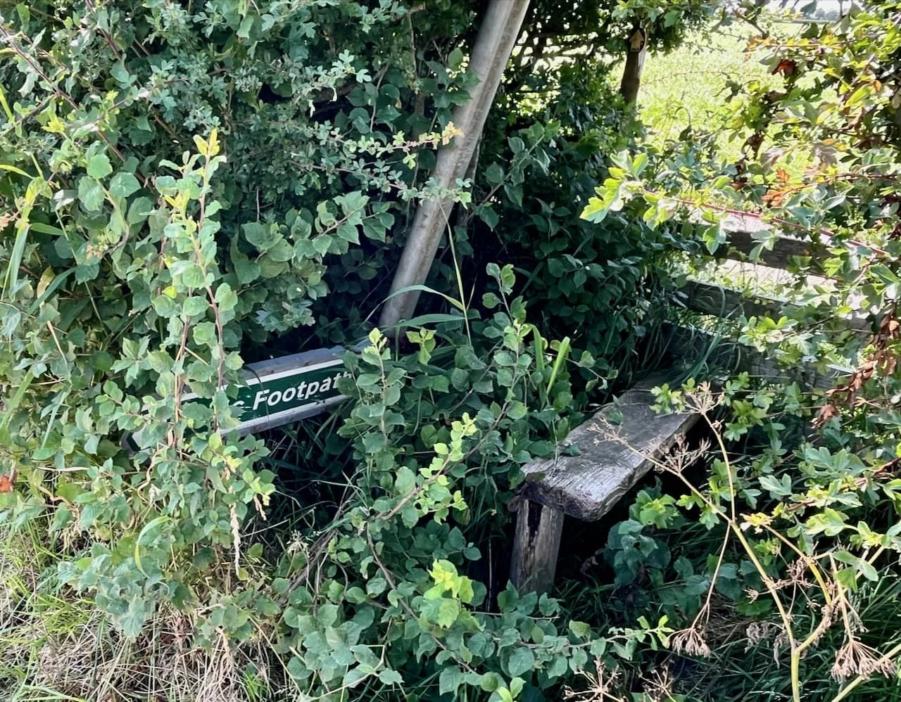
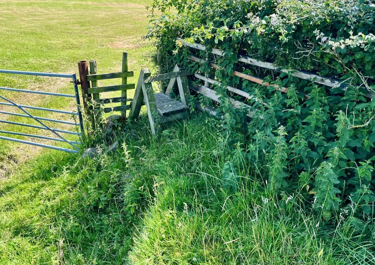
BRAMBLE RAMBLE: Taking care to avoid bramble snags and stinging nettles, over the rickety stile and turn left.
PATH FINDER: Keep going on this path until you reach the flood defence wall and a little way to the right the stile is clearly visible.
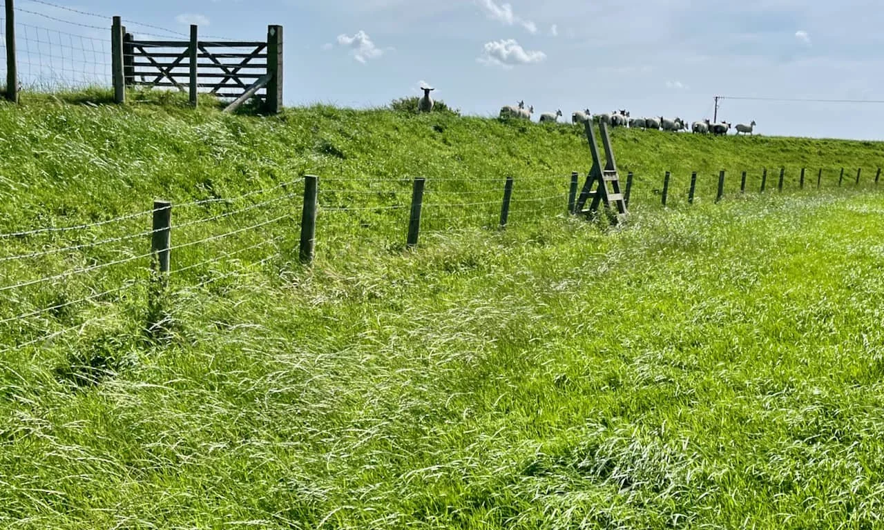
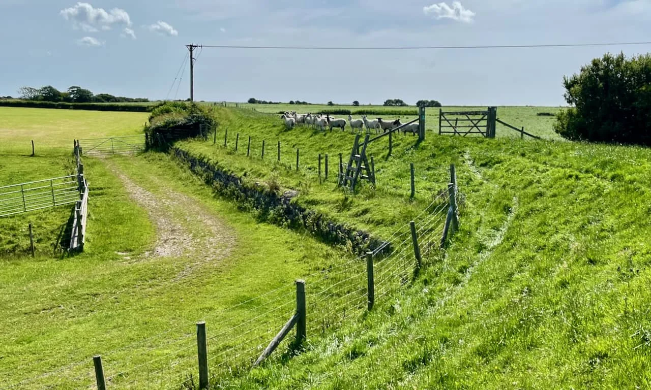
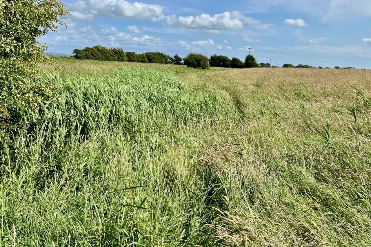
ALL THE WAY TO THE BANK: (Number 3 on the map) On to the banking and follow the sheep.
STILE HIGH CLUB: Over the stile, on to the top of the wall - it’s wide enough and safe, then over the stile into the field.
ANOTHER STYLE: And here we are.
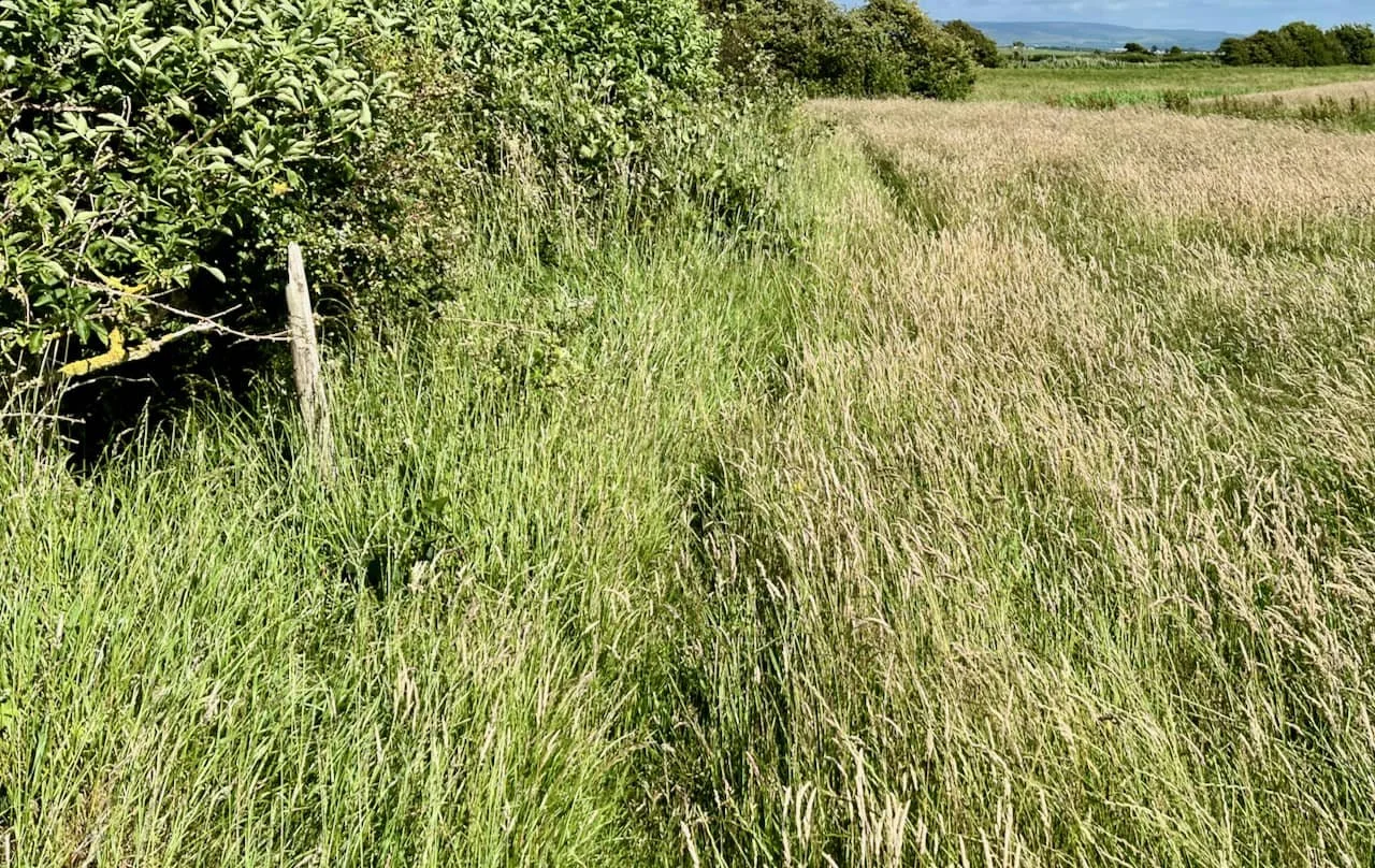
In this large field, the stile is in the fencing opposite but walk round the edge of the field, respecful of the countryside code.
The air is filled with the gentle sounds of leaves rustling, sheep bleating, songbirds, and the cry of seagulls. Back in the day, we would also hear loud pop music and the Tannoy announcements from the nearby Middleton Towers Holiday Camp. So we walk on with Cliff in our ears.
Had events turned out differently this could have been part of a tide free road to Sunderland Point. In June 1969, the planners at Lancashire County Council announced:
The committee, therefore, decided that it should investigate the possibility of constructing a new road which would follow very approximately the line of the footpath which exists between the road which terminates at Trailholme and the foreshore near Meadow House Farm.
Bosh! We bet there was never any intention for a new road. Keep going until the stile is reached, it can’t be missed.
SUNDERLAND POINTER: (Number 4 on our map) Over the stile and follow the yellow arrow route marker and keep left.
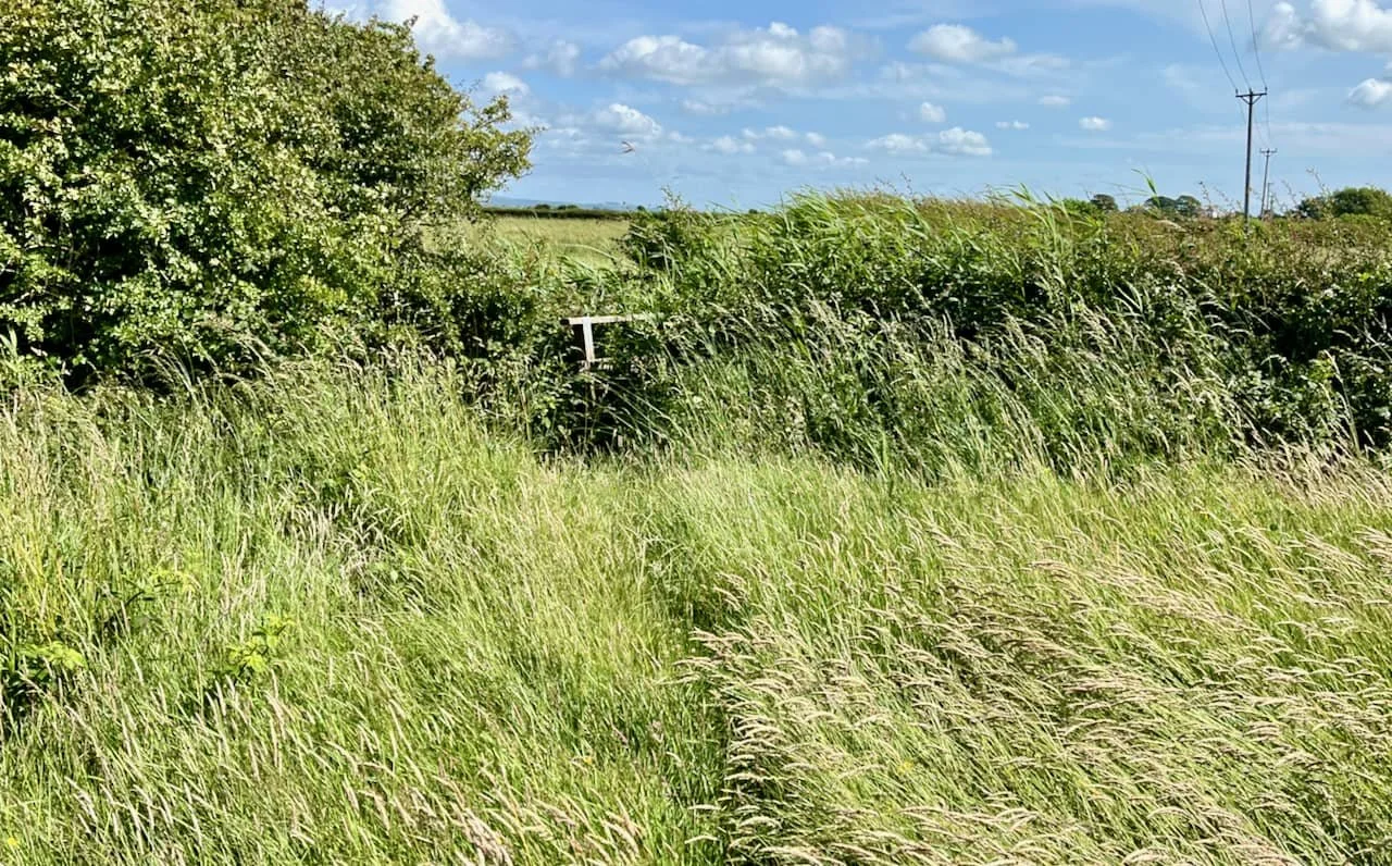
HEDGE YOUR BETS: Follow the side of the field with the hedge on the left.
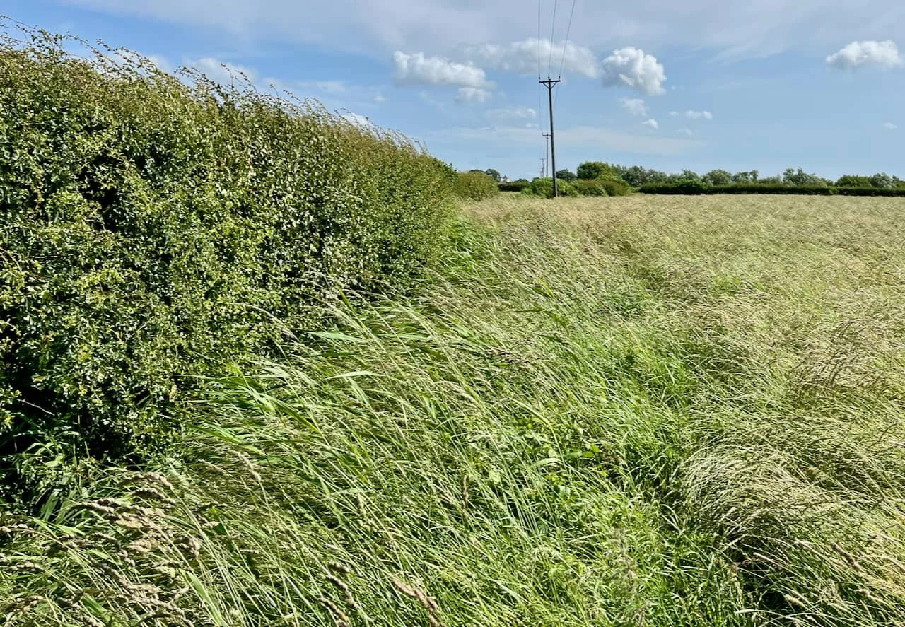
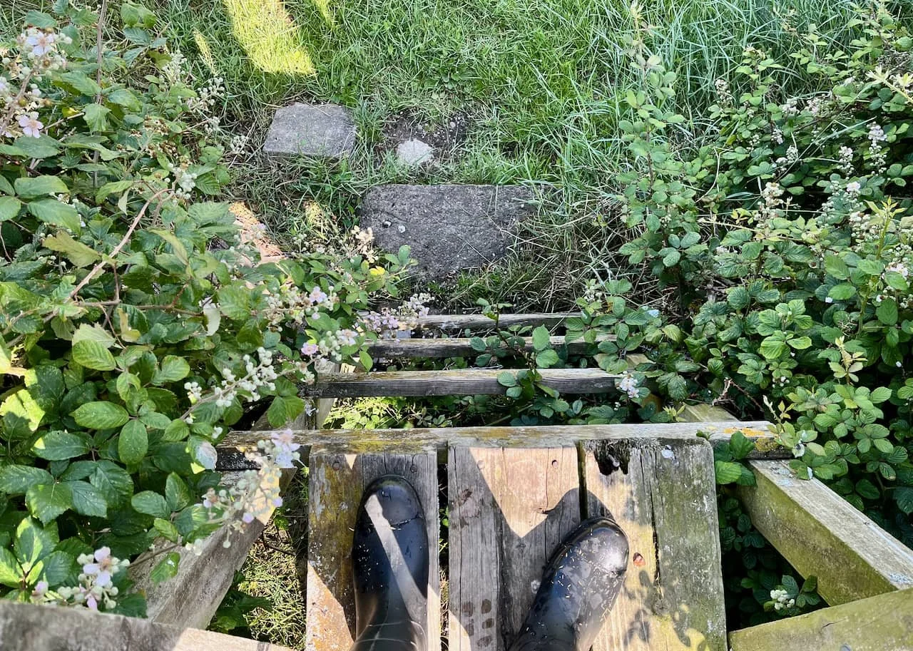
HIDDEN AWAY: And then with the reeds on the left - onwards to the next field corner - with eyes peeled. Lo, hidden in the undergrowth is the bridge.
HIDDEN: (Number 5) Imagine it’s winter, cold and still raining with the light quickly fading. Young children are making their way home. No wonder they complained, as this mother did in The Visitor, 1965.
Today after leaving school the children arrived home wet, cold and mud spattered having had to walk home in the dark through the fields which after all the rain (was) a mud bath.
They arrived home one and a half hours later, very weary children. The eldest of these is 10 years old. They have to walk alongside deep, unfenced ditches, which in the dark are very dangerous.
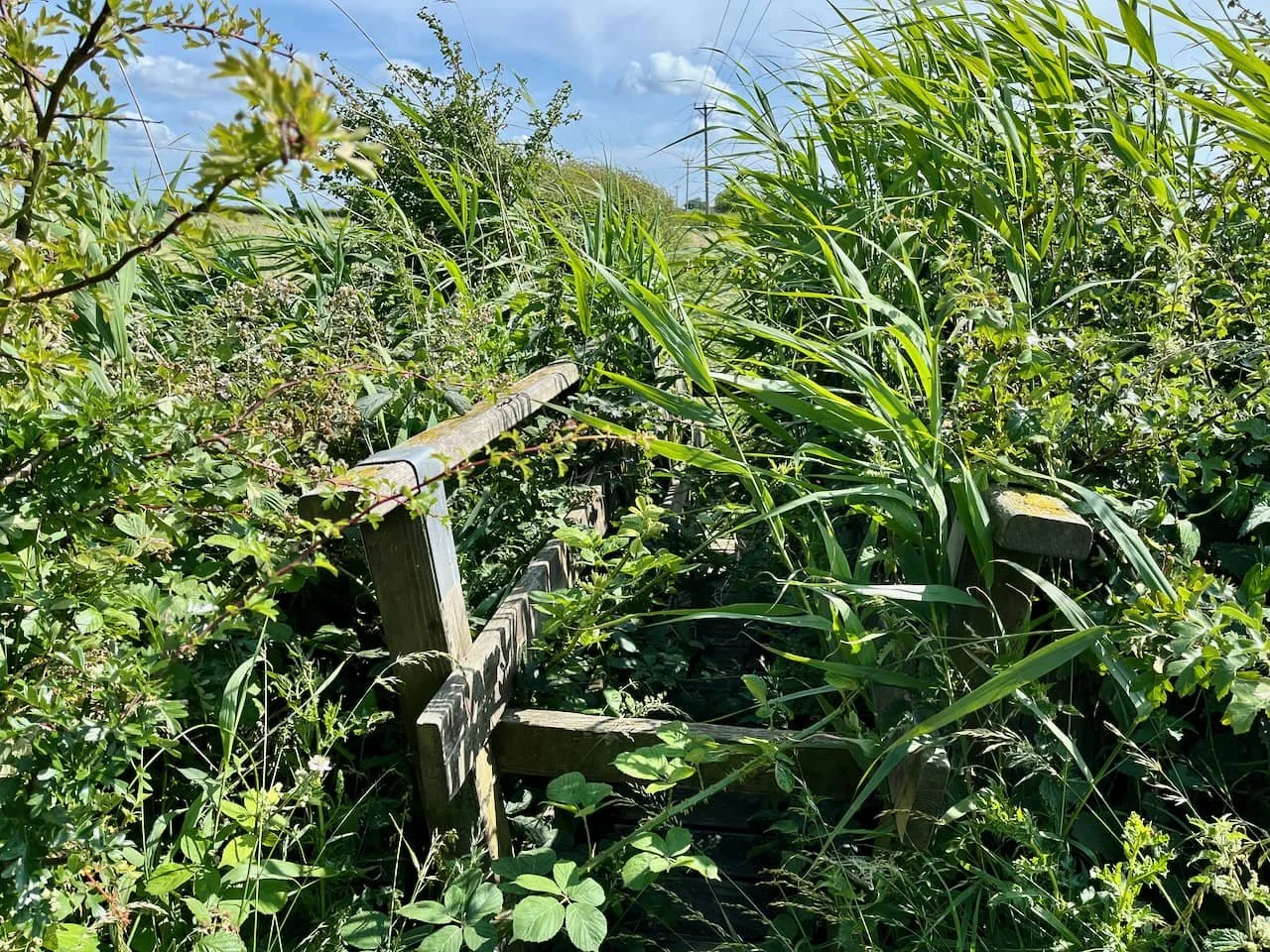
BRIDGE OF SIGHS: A little tricky is this one. Hard not to get scratched, but over the bridge one must go.
We don’t know exactly where on the walk Tom Gardner had his incident. It was recalled much later in a recording by his elder brother Harold: “After de-mobilisation in York, Tom was making his way home hoping to get back in time for a family wedding. As the tide was on the road, he had to make his way through the fields. One of the footbridges over a field dyke had a plank missing and Tom fell in, ruining his new demob suit.”
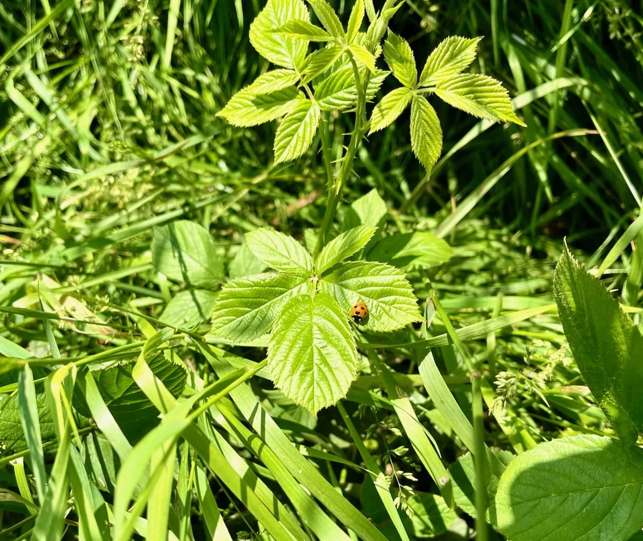
NATURE WATCH: We saw many ladybirds, the photo only caught one.
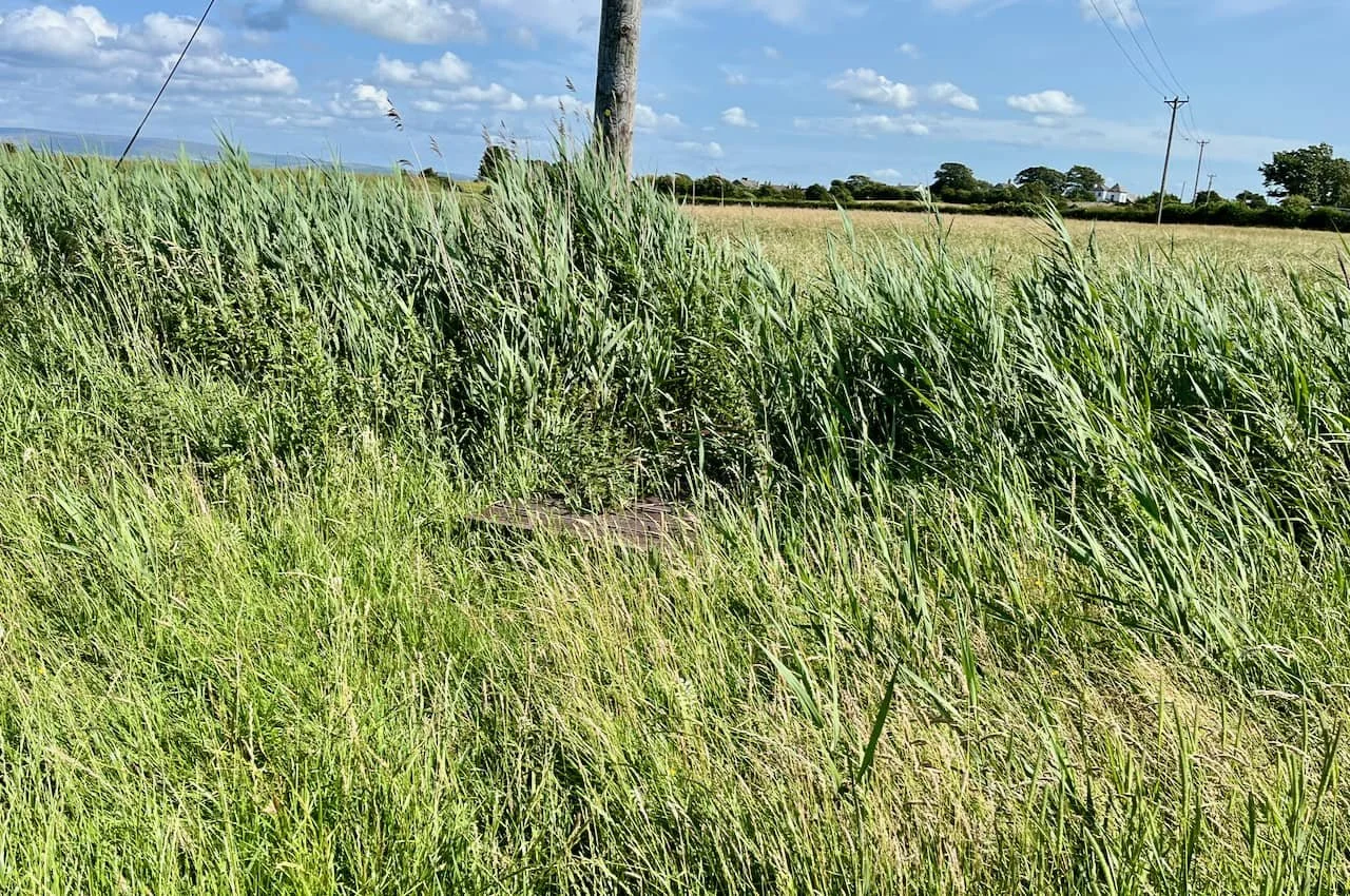
FIRST PAST THE POST: Follow the line of the hedge to the electricity posts.
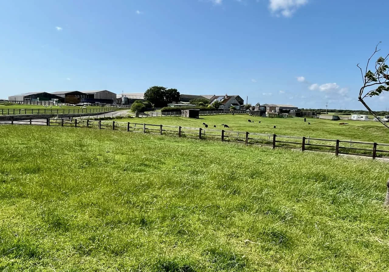
GOTCHA! The stile becomes visible, as does the road from the escape road on the causeway leading to Sunderland Brows Farm. The Hargreaves family have been farming there continuously since the 1840s. The building is much older, we find it on a map of 1739 as ‘Brow House’.

GROWING PAINS: (Number 6) Now this is just a bit too much. Happily there is a hack, fall back to the road and walk a little way East in the direction of the escape road.
RIGHT ON: Then a swift right turn throught the gap in the hedge and follow the line of the dyke on the opposite side to the ‘official’ footpath.
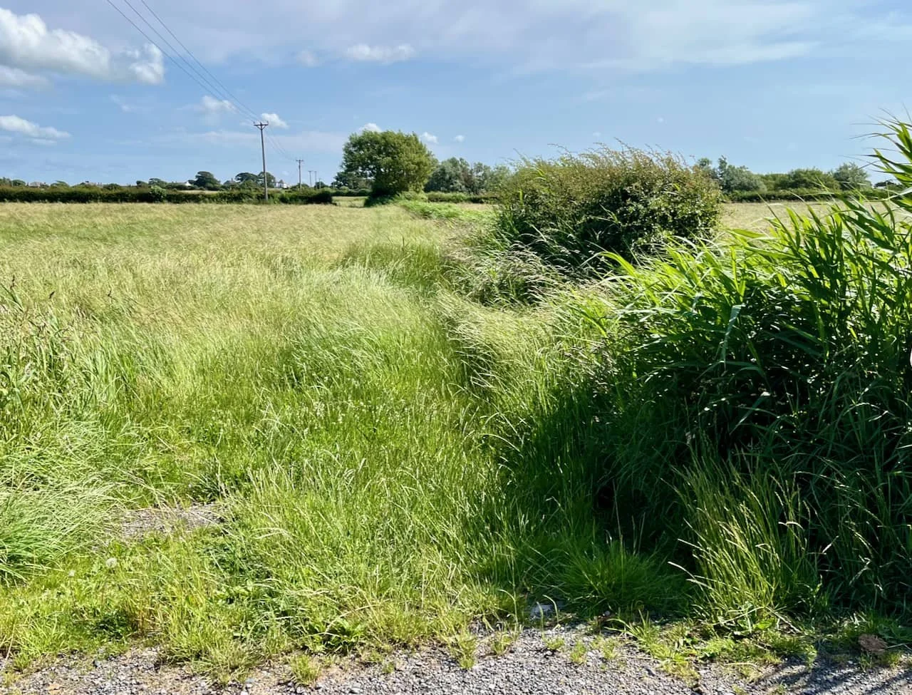
GREEN GRASS OF HOME: Keep going…
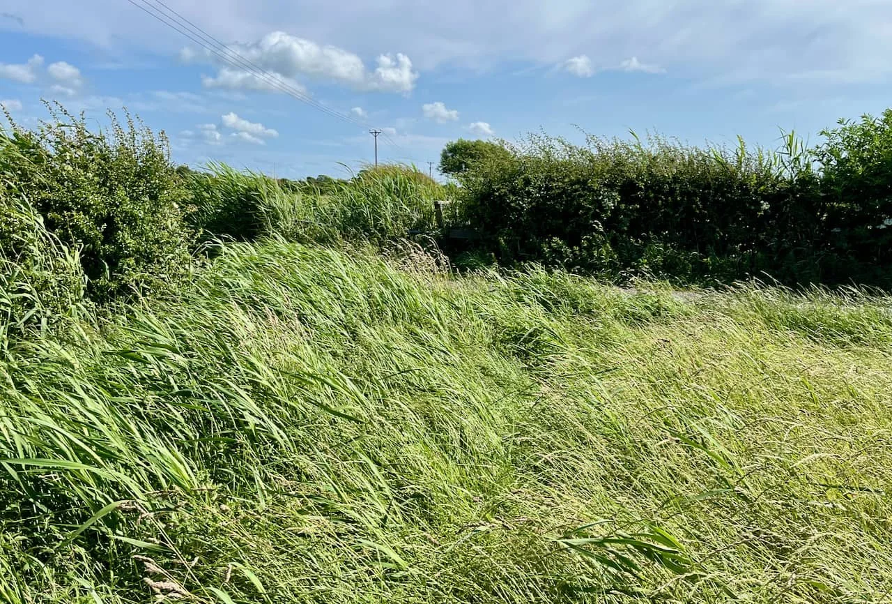
MIND THE GAP: Through the gap you go, past the tree and over the field to the other side. Eyes peeled again. There is decking over a small dyke, not so easy to find.
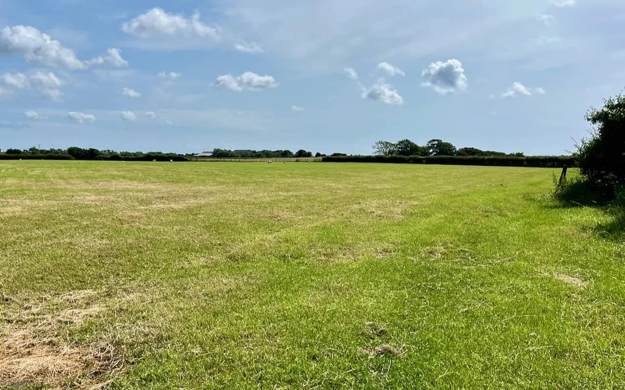
FIELD DAY: And into a large field.
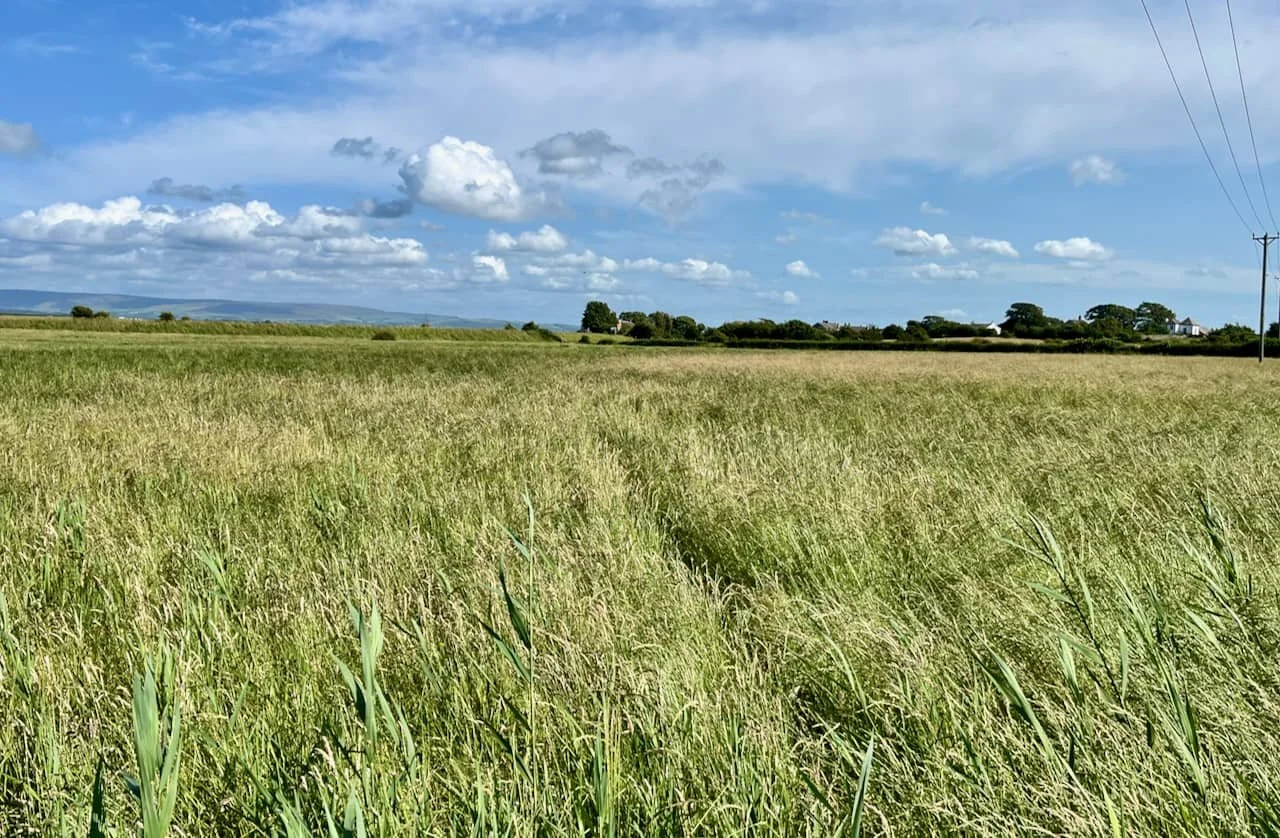
THE LAST LEG: (Number 7) Almost at the Point. Now the route runs diagonally across the field. The Summer House at the top of the Lane is visible top right. There’s a short line of hedge rising up the side of the sea wall – head in that direction.
This day is in June, and the field is dry. Notoriously, in winter, the field can become very wet - a deep bog in places.
Had events turned out differently, this could have been part of Horace Taylor's plans for a Caravan park when he owned Meadow House Farm in the 1960s. The village fulminated in opposition, with all residents against and collecting to pay for legal counsel to sink Horace’s scheme (April 1968).
His plan would have covered 13 acres with 240 static caravans, mostly on the site of the old army camp. Thinking about it, if it had been approved, it might have expanded over time to include tents, toilets, a camp shop, barbeque stands, and a children's play area. A bouncy castle perhaps…

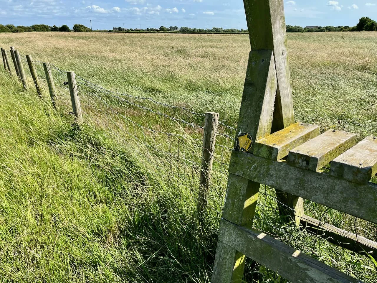
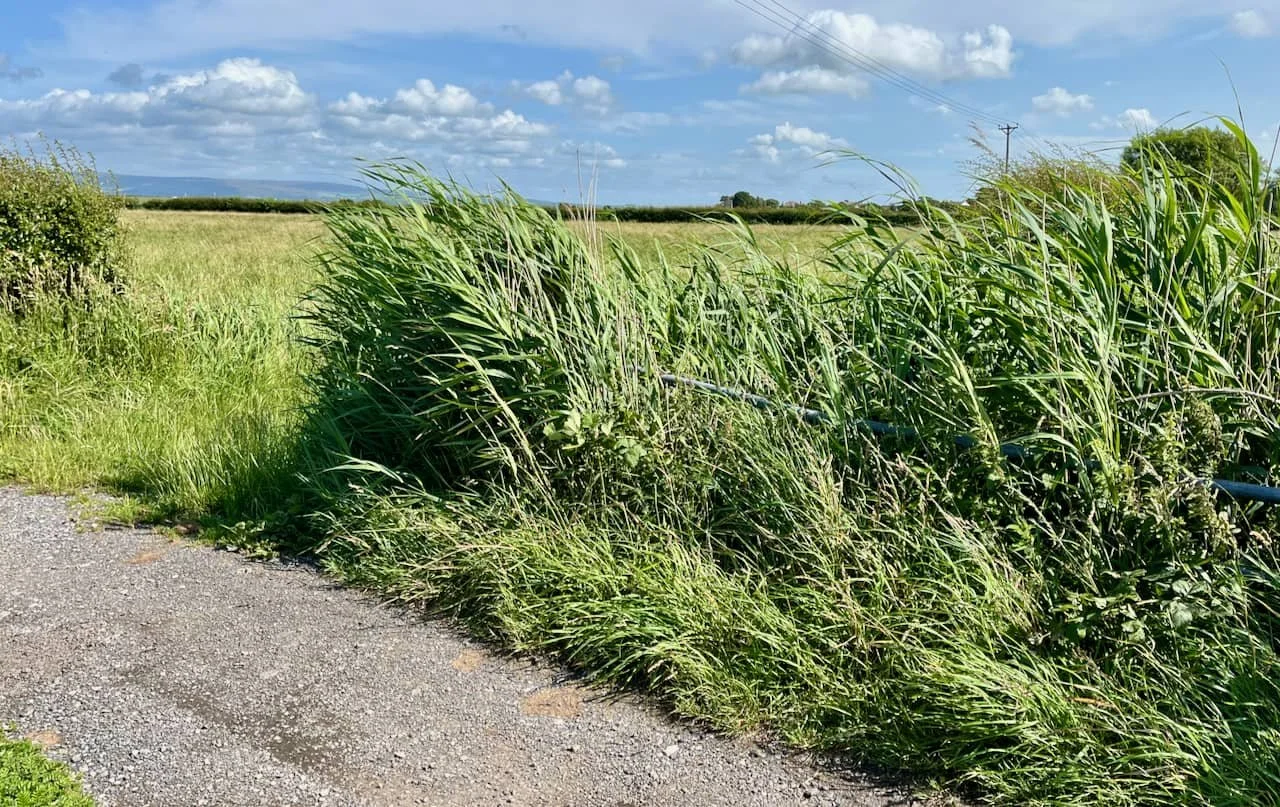
YOU CAN BANK ON IT: Scramble up the banking to the stile. This used to be a good place to find wild mushrooms.

STAIRWAY TO HEAVEN: (Number 8) Wonderful view of the river and hills beyond.
Take care!! There are hidden concrete steps down to the foot of the style - and its a bit of a steep drop on the other side.
CAREFUL DOES IT: A careful climb down and a right turn
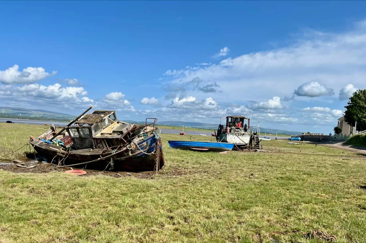
WRECKS ON THE BEACH: Past the old boats and the Anchorage on the right to the shore where cars can be parked when tides permit.
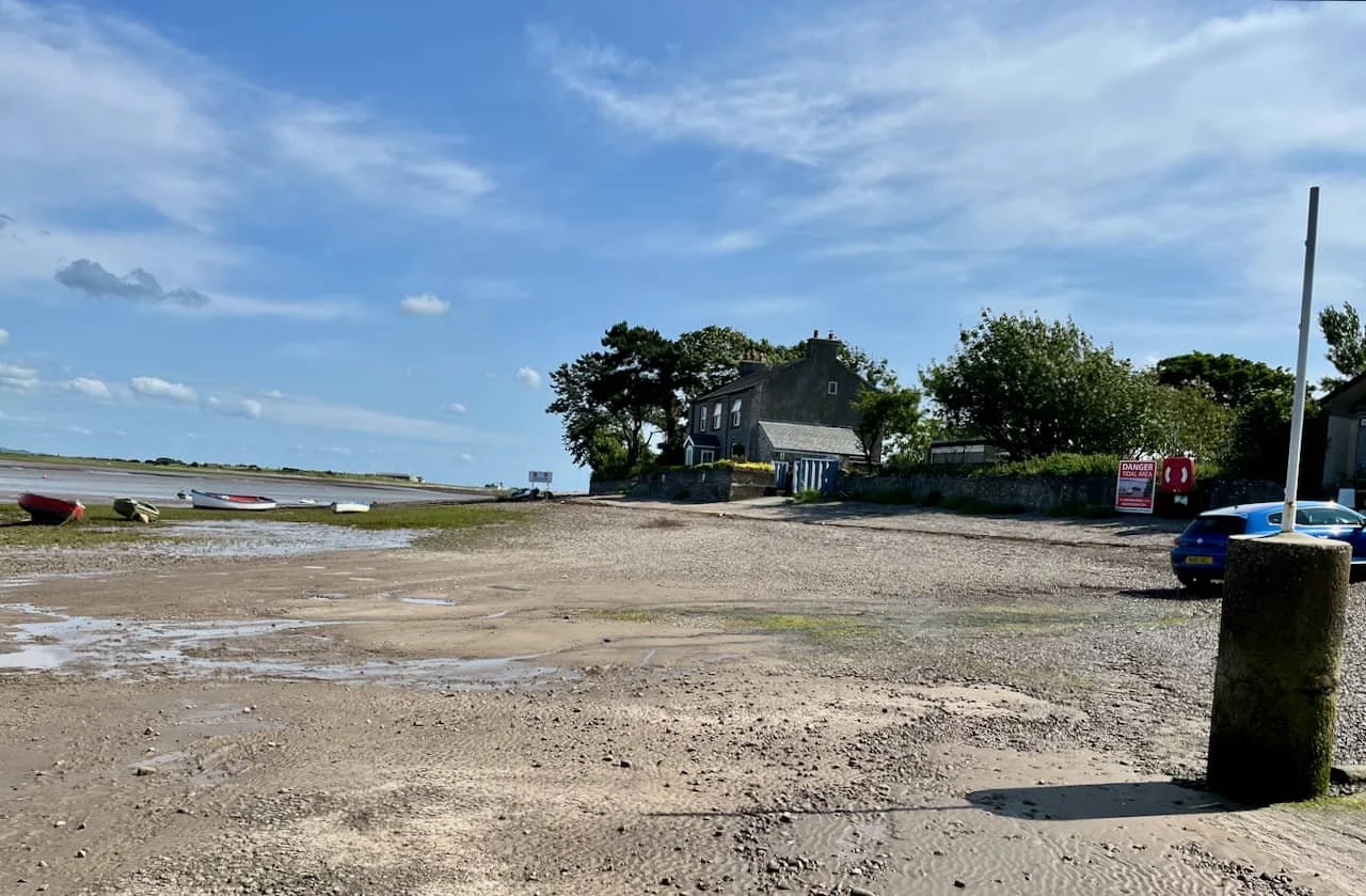
REACH THE BEACH: Finished in about 40 minutes. Now the walk back across the causeway to the Globe for the car…
Many thanks to Jackie Parkinson-Winter Brown for the image of the Globe and details of its pleasure gardens. Also thanks for the brilliant sub-headings on the photos by Scottie Wilson.
We now take our Summer break and will be back in the middle of September, once again many thanks for the kind comments, and help with information and photos. We have some great stuff planned for Autumn publication!