Environment
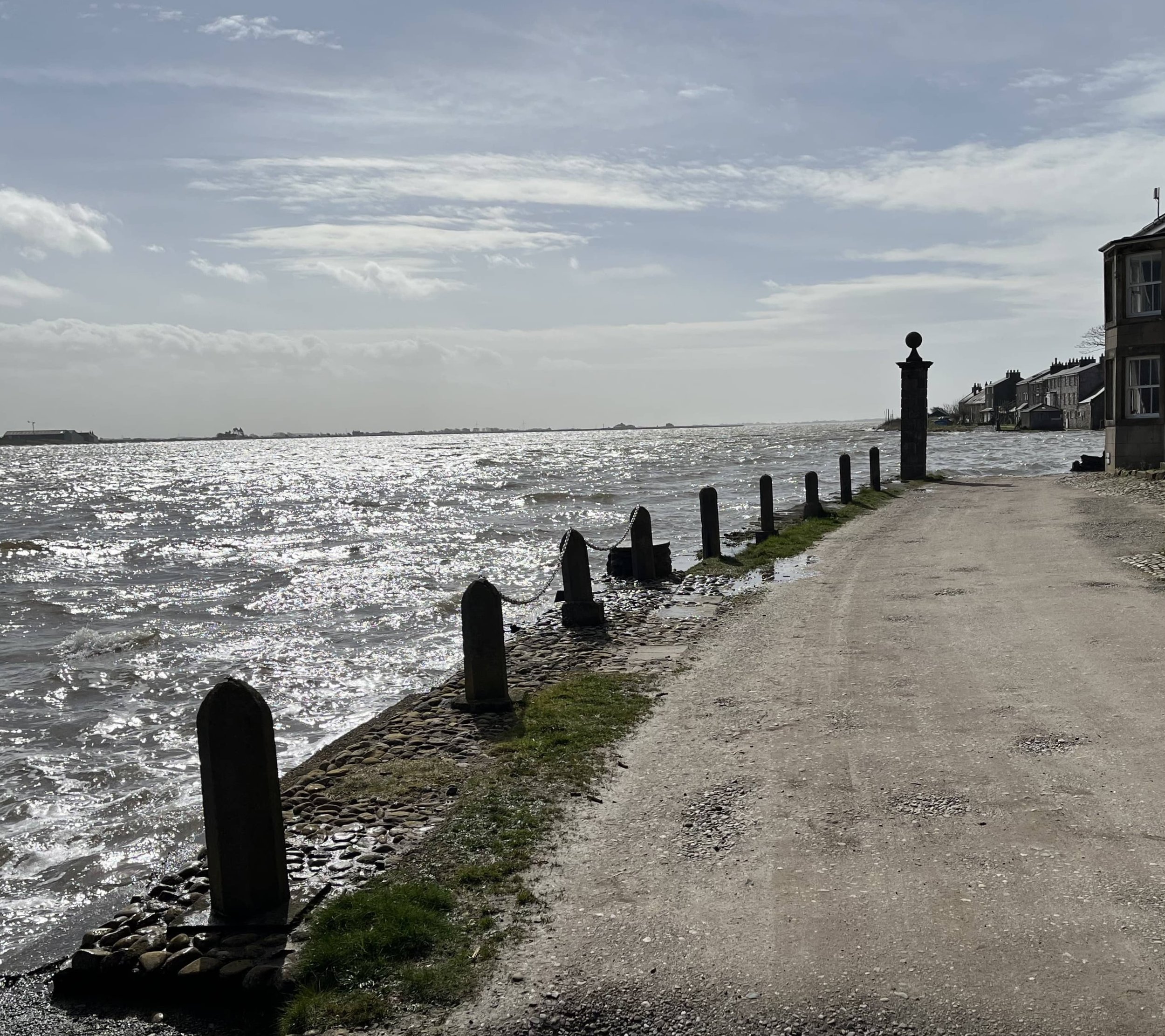
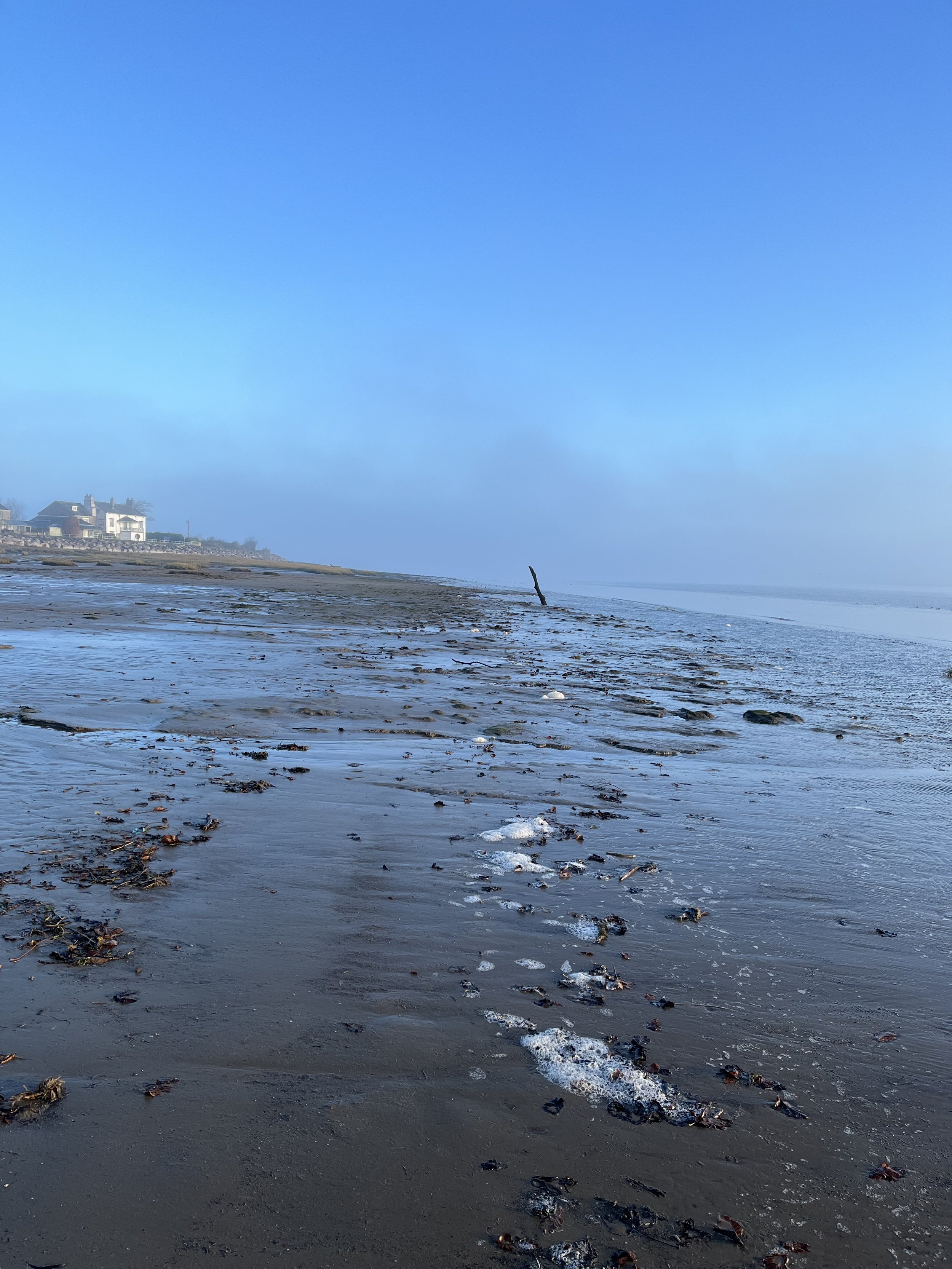
Environment – in our special context - means the effect of the sea and tides on Sunderland Point. The village is defined by the tidal estuary as the river enters the Irish Sea. The Lune basin and the wide-open horizon of Morecambe Bay provides a setting of outstanding natural beauty.
The village has its origins at the end of the 17th century as the sheltered and navigable anchorage for Lancaster merchants at the beginning of the colonial trade.
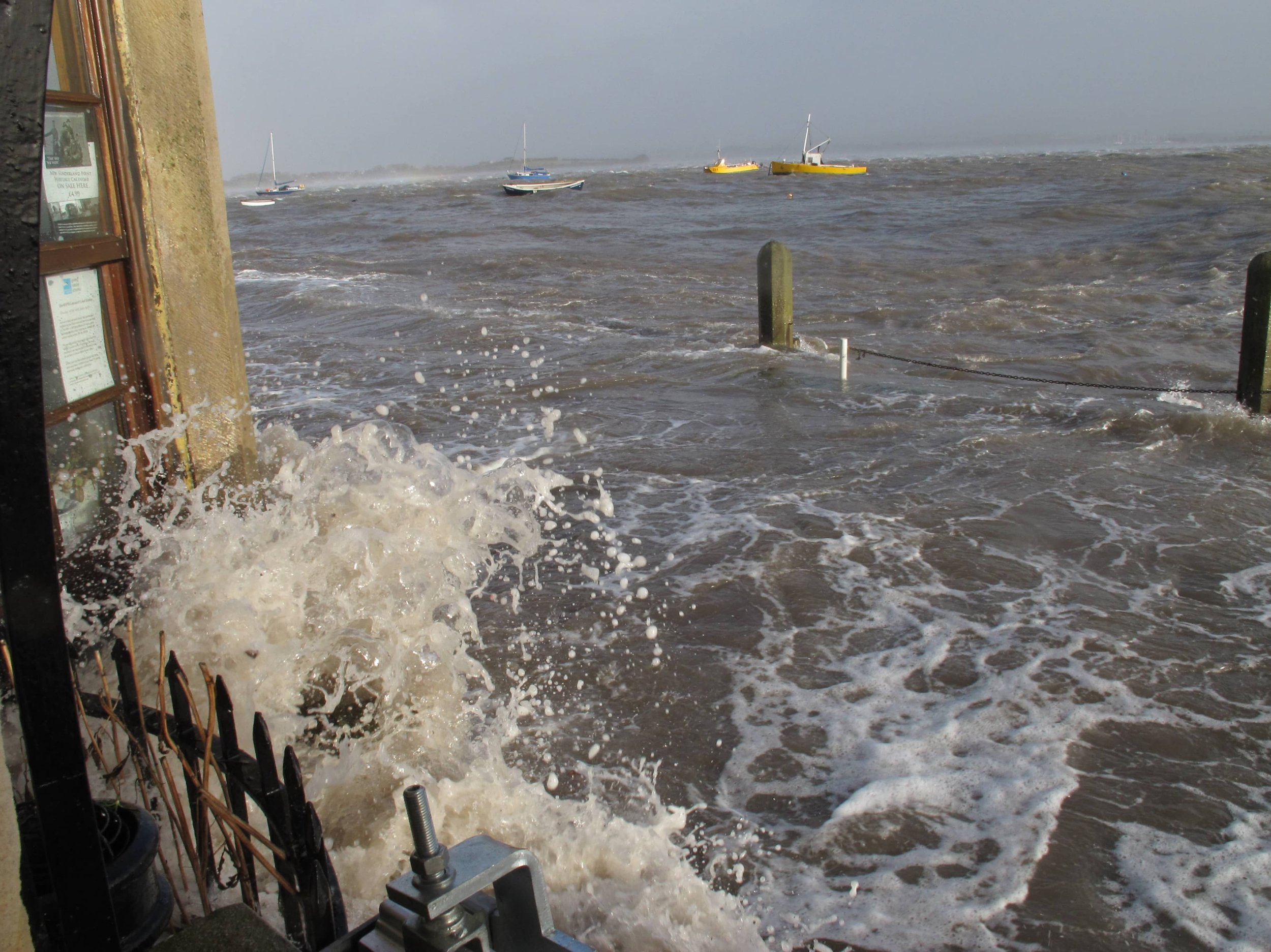
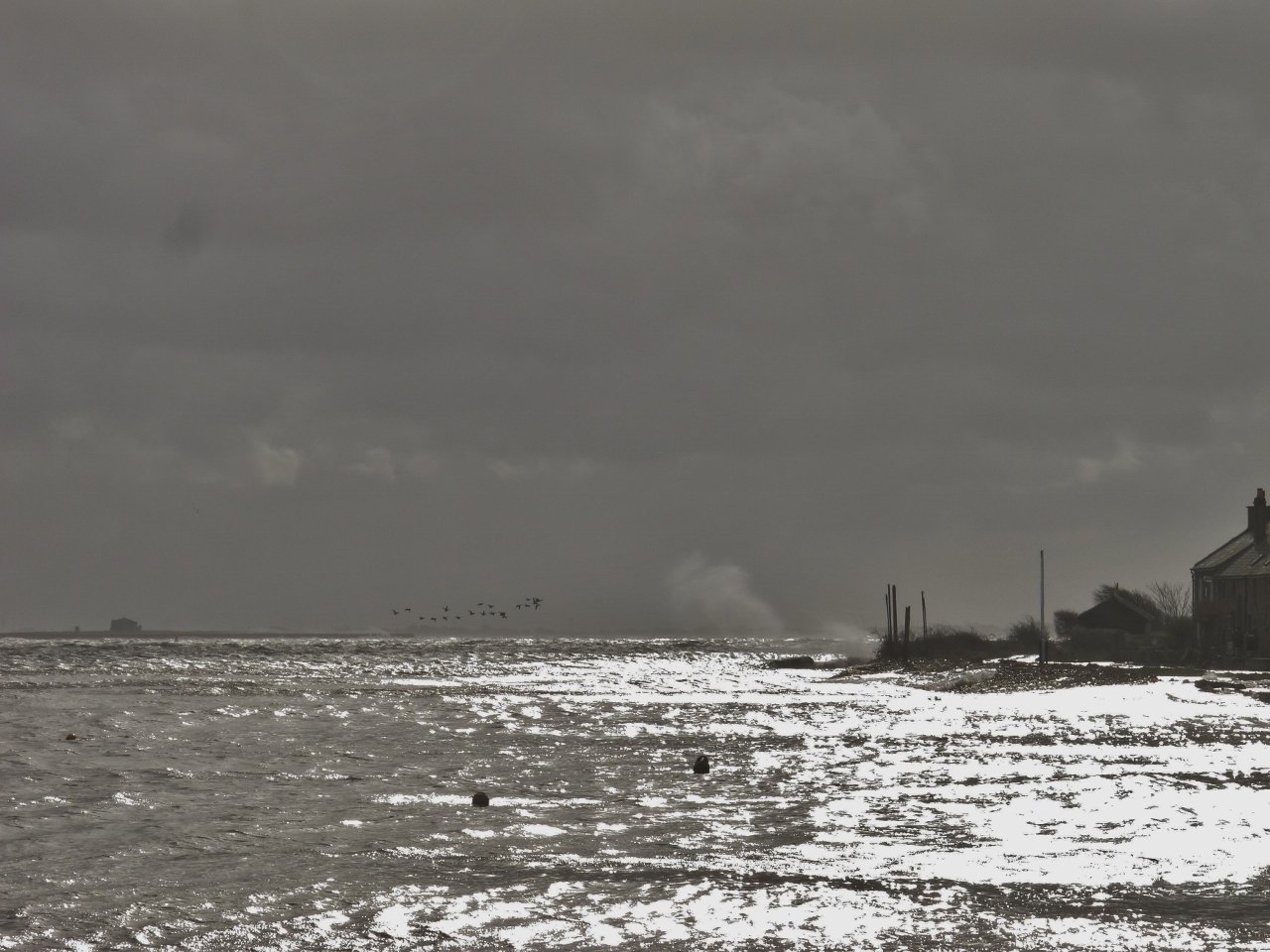
The sea may bring the end of the village as rising levels and the increasing frequency of storm driven floods threaten habitable living on the Point. Almost every winter brings a tide that washes onto the Terraces and up to the houses, and in some years much worse.
The sea has eroded away over 100 metres of the Point End. The action of the sea undermines the causeway, it washes sands and muds from Morecambe Bay into the estuary covering the road, filling the drainage channels and blocking the culverts.
Much of daily life is governed by the constant cycle of ever-changing tides. A tide table is propped open on the mantelpiece, when is it on, when will it be off the road? Will it be 30 minutes on the road, will it be three hours? A look through the window at the weather, and what about the wind?
We have created six pages to give information about the tide itself, the story of the causeway and the measures to control erosion. We provide a brief and mostly pictorial history of flooding – and also of the sea defences constructed to protect the Point. Finally, a look into future with the Environment Agency at the increasing risk of damaging floods as the sea rises with climate change.
Select from the six pages below
Click on the button