
Sunderland Point
Website sponsored by the Sunderland Point Community Association
Welcome
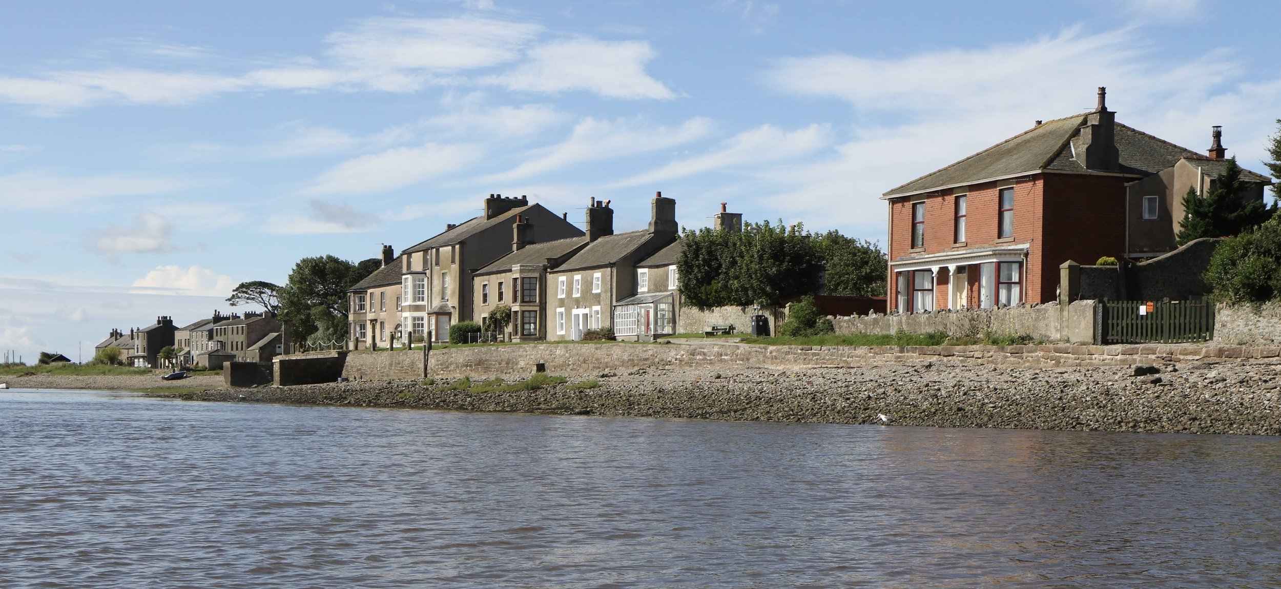
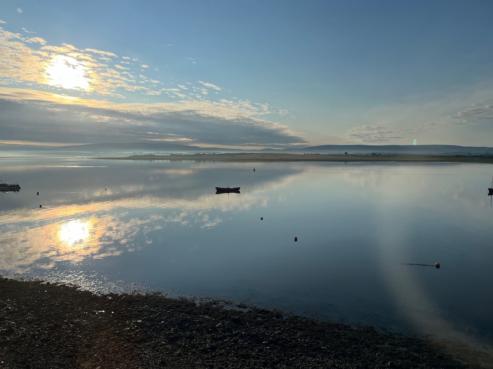
Sunderland Point is a unique location. It is a village of 30 or so houses and a farm at the end of a tidal causeway. Its landscape intermingles the sea and river, salt marsh, shingle, mud flats and farmland.
Located at the tip of the Lune Estuary and although close to both Lancaster and Morecambe, it feels remote with hauntingly beautiful views over the shore and river to the moors of the Forest of Bowland in the East and the South Lakeland hills to the North.
Warning: The Causeway and the shingle at the end of the road can be under several feet of water, sometimes for more than four hours. Tide tables must be consulted.
You can check the tide here: BBC Tide Table for Heysham

Waiting for the tide to recede before crossing the bridge c.1935
Once a thriving Port…
Sunderland Point is of immense historical significance. Here, at the end of the 17th century, the merchants of Lancaster reached out for a share of the colonial trade. For a century Sunderland Point was a significant base for boat building and international trade. By the end of the 18th century Lancaster was the fourth largest port in England behind London, Bristol, and Liverpool.
Most of the buildings date from this period.

A Seaside Resort…
The opening of Glasson Dock in 1787 moved the shipping to the other side of the river resulting in a total loss of trade and industry. Sunderland, taking advantage of the fashion for sea bathing, transformed into a resort sometimes known as ‘Little Brighton on the Lune’.
A Village of Farming and Fishing…
By the turn of the 20th century although still popular with occasional visitors and summer regulars the daily life of those living at Sunderland Point was mostly involved in fishing and farming.
Present Day...
Today, even this has all but vanished. Residents are drawn from many backgrounds, but each shares a deep affection for this very special place.
Credits: Special thanks to Nicole Hargreaves who gave many hours to building this website, to Alan Smith who provided almost all the photographs and Paul Hatton for the maps and diagram. Also to the many others who contributed photographs, offered advice, and checked the text for errors.